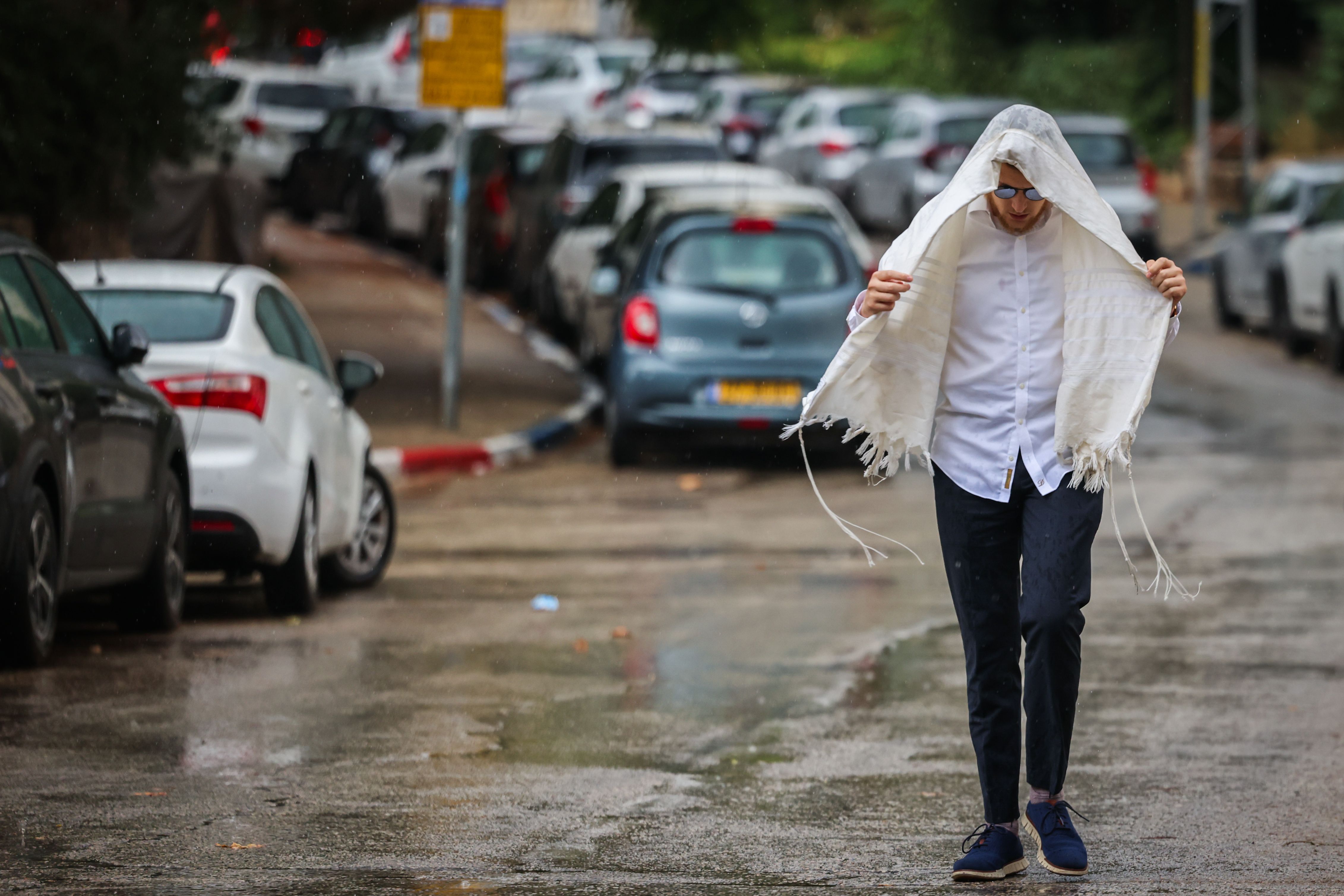

In the days leading up to the weekend, it appeared Israel was bracing for a dramatic weather event. Forecasts pointed to an unusual system for late August, with predictions of significant rainfall in central Israel, thunderstorms, lightning, hail, and even potential flooding.
As the warnings accumulated and spread through media channels, the public prepared for what seemed like an extraordinary rain event. Those following the forecasts closely might have expected a winter-like storm system to hit the country's central region.
Although rain did fall in parts of Israel, with northern areas recording meaningful precipitation, central Israel experienced far milder conditions than the scenarios discussed earlier in the week.
The primary reason for this discrepancy lies in the storm system's path. Nahum Malek, chief meteorologist at Meteo-Tech, explained in an interview with Channel 7 that one key factor was the system's northward shift from what early forecasts had indicated.
Initial assessments suggested the system would pass closer to Israel, affecting central regions and the coastal plain more broadly. As the week progressed, however, it became clear the system was positioning itself further north, with most activity concentrated around Lebanon and its surroundings.