
Get our mobile app
Download on the App StoreGet it on Google Play

Weather

Forecast Missed Mark on Heavy Rains

After days of warnings about exceptional late-summer storms and flooding, central Israel received far less rain than expected. Meteorologists explain what went wrong.

Rain

In the days leading up to the weekend, it appeared Israel was bracing for a dramatic weather event. Forecasts pointed to an unusual system for late August, with predictions of significant rainfall in central Israel, thunderstorms, lightning, hail, and even potential flooding.

As the warnings accumulated and spread through media channels, the public prepared for what seemed like an extraordinary rain event. Those following the forecasts closely might have expected a winter-like storm system to hit the country's central region.

Although rain did fall in parts of Israel, with northern areas recording meaningful precipitation, central Israel experienced far milder conditions than the scenarios discussed earlier in the week.

The primary reason for this discrepancy lies in the storm system's path. Nahum Malek, chief meteorologist at Meteo-Tech, explained in an interview with Channel 7 that one key factor was the system's northward shift from what early forecasts had indicated.

Initial assessments suggested the system would pass closer to Israel, affecting central regions and the coastal plain more broadly. As the week progressed, however, it became clear the system was positioning itself further north, with most activity concentrated around Lebanon and its surroundings.
Rain
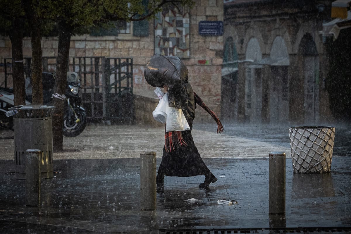
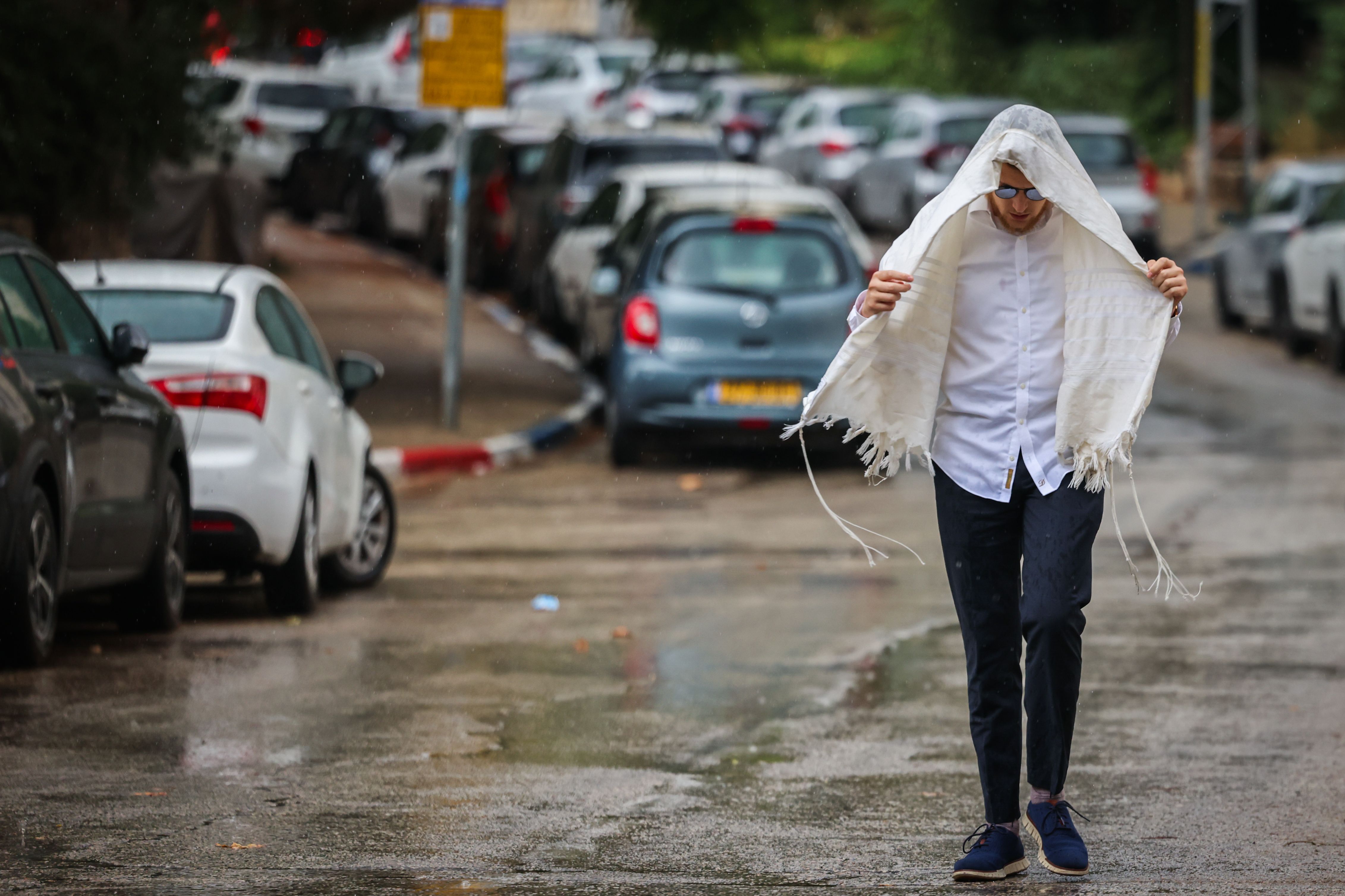
Rain (Photo: Yossi Zamir / Flash90)

The result was straightforward: Israel received mainly the edges of the weather system, while the heavier rains remained to the north.

This is particularly notable given the unusual timing. In late August, when the ground and atmosphere are not yet in typical winter conditions, the precise location of a weather system carries exceptional significance. A shift of several dozen or even hundreds of kilometers in the storm's path can mean the difference between substantial rainfall and mere drizzle in a given area.

The forecast itself evolved as the event approached. By Thursday, signs emerged that the system was weakening and moving further north, leading to updated scenarios that were more moderate than those presented days earlier.

However, by that stage, the early forecasts had already created significant public expectations. Discussions about exceptional rainfall, large quantities, and flooding concerns had received wide exposure, and the public had already prepared for a major weather event.

Part of the gap also stemmed from how forecasts were communicated to the public. According to Malek, meteorologists did identify a genuine possibility of unusual weather and attempted to provide advance warning, but as messages passed through media outlets and reached the public, the scenario sometimes gained greater intensity than warranted.

Ready for more?

Join our newsletter to receive updates on new articles and exclusive content.

We respect your privacy and will never share your information.

Enjoyed this article?

Yes (15)
No (1)
Follow Us:

Unmissable content


Loading comments...

Also of Interest