
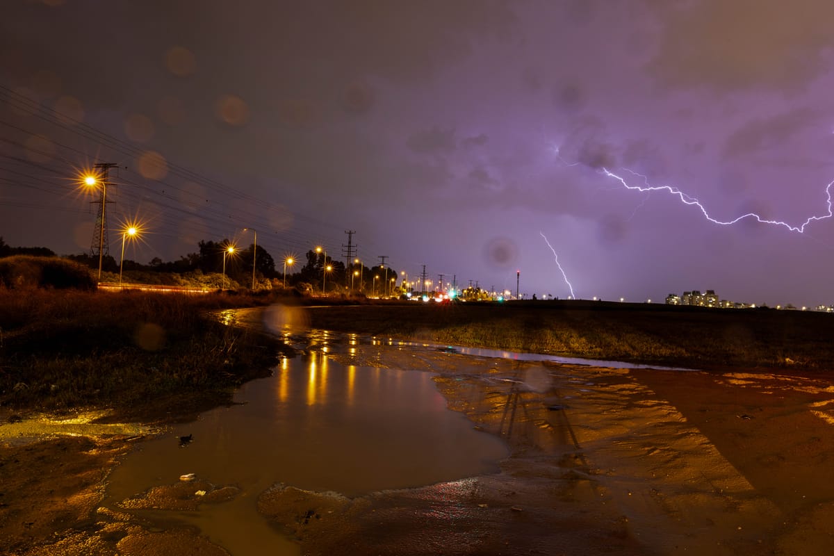
Storm Byron reached Israel overnight with far greater intensity than early forecasts suggested. After a night of heavy rainfall in the north and along the coastal plain, the system is now spreading across most of the country. Emergency authorities remain on high alert as flooding risks rise and flash flood warnings expand.
According to the Israel Meteorological Service, Wednesday will bring intermittent but powerful downpours accompanied by lightning and thunder. The greatest immediate danger is in streams across the Dead Sea region, the Judean Desert, the Negev and the Arava, where sudden flooding is expected. Coastal cities are preparing for possible urban flooding as the storm strengthens.
In response to deteriorating conditions, several IDF bases in the south released soldiers early to ensure safe travel before roads become hazardous.
Rain totals from the past 24 hours highlight the storm’s strength: Zichron Yaakov recorded 72 mm, Haifa 60 mm and Tel Aviv roughly 30 mm. Mountain areas such as the Carmel ridge also saw intense bursts of rain in short intervals, which is exactly the pattern forecasters fear may trigger local flooding.
Meteorologists warn that Thursday will be the peak of the storm. Heavy rain is expected from the northern border through the Negev, with the highest flooding risk coming from large quantities of rain falling in compressed timeframes. The southern coastal plain, the southern Shephelah and northern Negev face elevated danger Thursday evening and overnight.
Rain is also expected to intensify in the Negev and Arava later Thursday, keeping flash flood alerts in place for southern waterways.
Friday morning will still feel stormy, but rainfall is projected to ease by midday. By Saturday, Storm Byron should move out of the region, leaving only light drizzle along the coast and temperatures returning to seasonal norms.
Emergency officials continue urging the public to follow all earlier safety guidelines and remain vigilant as the system reaches its most dangerous phase.