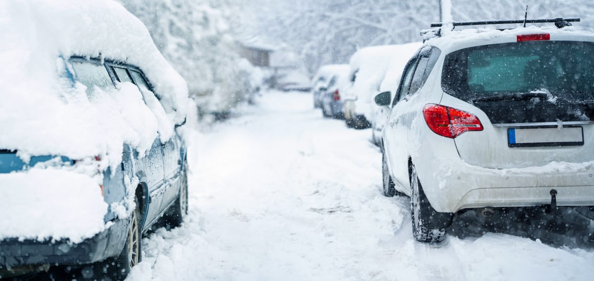
A powerful winter storm is unleashing heavy snow across New York, New Jersey, and surrounding areas this morning, evolving largely as meteorologists had forecasted. The system, which began impacting the region overnight, is bringing widespread snowfall, high snow ratios, and deteriorating travel conditions, with officials urging residents to avoid roads as visibility drops.
As of 8:00 AM EST, light to moderate snow is ongoing across the entire Tri-State area, including southern New Jersey, New York City, Long Island, and central New Jersey. A strong surge of 700mb moisture transport is fueling the storm, though limited lift early on has kept initial snowfall rates manageable. However, coverage is expanding rapidly, and accumulations of 1 inch or more have already been reported in many spots due to exceptionally high snow ratios.
Forecast models, particularly the HRRR, continue to provide the most accurate timing compared to other guidance. Key developments to watch include a potential "roadblock" or pushback feature after approximately 4:00 PM, which could prolong the storm by an additional hour or more in areas like NYC, Long Island, and central NJ. During this window, snowfall rates may intensify to nearly 2 inches per hour, exacerbating conditions.
Snowfall totals are expected to be significant: New York City could see 8 to 12 inches, marking the first major accumulation in four years, while northern and western suburbs may receive up to 18 inches.
In New Jersey, predictions range from 6 to 12 inches of snow and sleet across most areas, with 3 to 6 inches in the far southern regions.
Along the I-95 corridor and coastal zones, snow is likely to mix with sleet and freezing rain, potentially reducing totals but increasing hazards like icy roads.
The National Weather Service has issued a Winter Storm Warning for the region, effective until 1:00 PM EST on Monday, January 26, warning of heavy snow and possible snowfall rates of 1 to 2 inches per hour during peak periods.
High-impact banding could push rates even higher, up to 2 to 3 inches per hour in some spots.
Travel conditions remain passable for now but are expected to deteriorate quickly over the next few hours as snowfall intensifies and visibility plummets. Authorities advise that the safe travel window is closing rapidly, with roads becoming treacherous.
New Jersey Governor Mikie Sherrill declared a State of Emergency effective 5:00 PM on Saturday, January 24, to mobilize resources.
Similarly, New York Governor Kathy Hochul has declared a State of Emergency, closely monitoring the storm's progress.
Power outages have been reported amid the storm, with nearly 300,000 customers without electricity across affected areas as of early this morning, though this figure includes impacts from related weather systems nationwide.
Residents are urged to stay indoors, prepare for potential disruptions, and follow local updates as the storm continues into Monday.